Measurement services
The City of Laitila Measurement Office carries out the measurements mainly on its own.
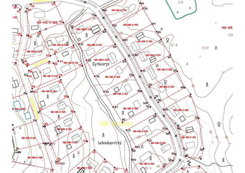
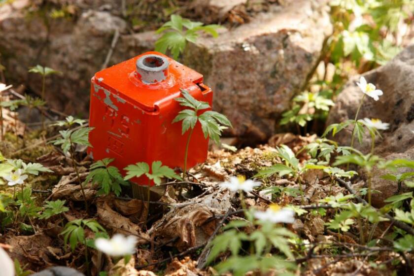
The surveying office carries out measurements related to the building permit decision (marking of the building site and site survey), boundary surveys, updating of the base map of the plan for the central area and the municipal address system.
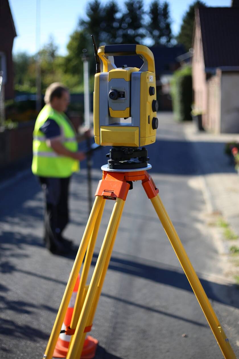
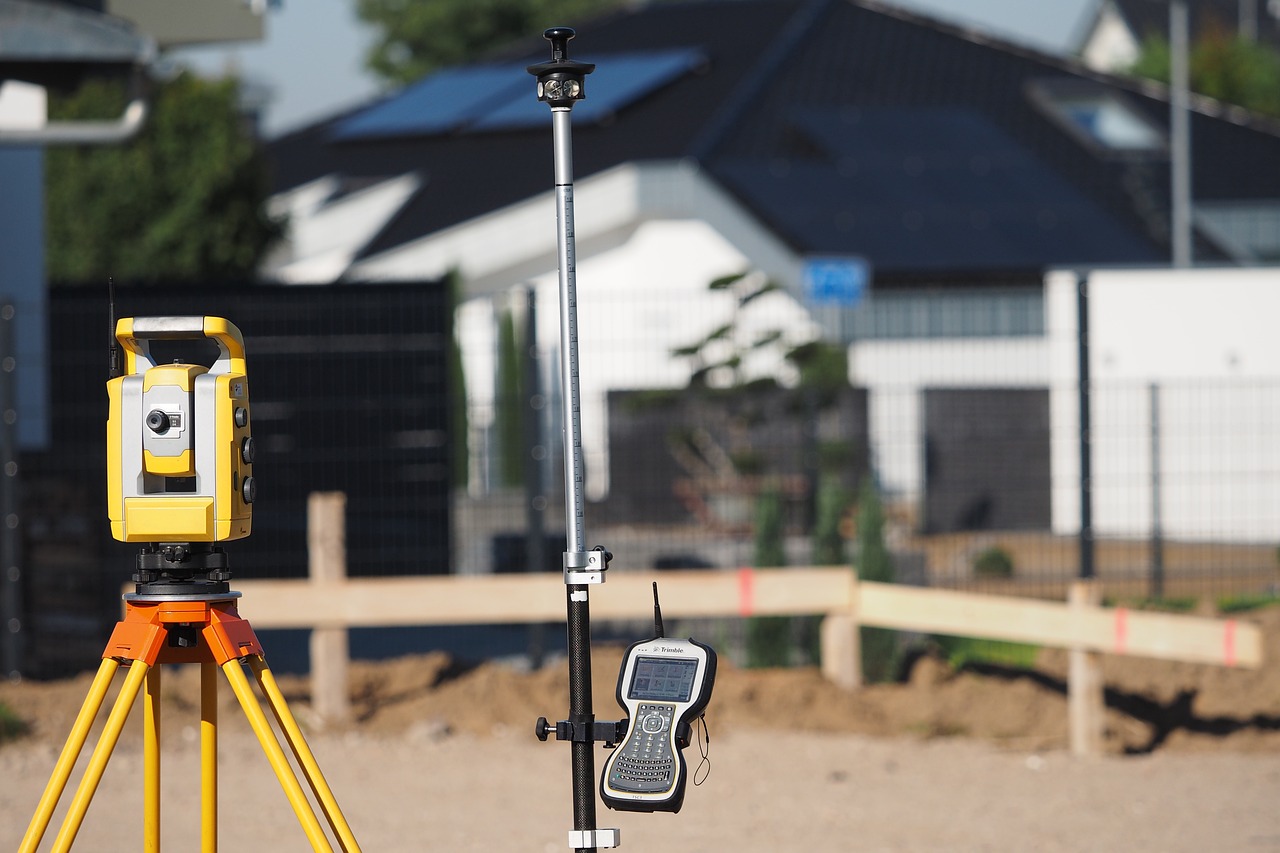
Measurements are carried out using GPS and a tachometer. Measurements are made using the ETRS-GK22 and the N2000 elevation system, which are based on the pan-European standard.