Address numbering
The designation of buildings and other features of the built environment is the responsibility of municipalities as part of the planning and implementation of the built environment. Addresses for buildings are assigned as part of planning and building control tasks or according to a separate decision by the municipality.
Addresses
All residential and recreational properties on the mainland and islands must have an address to direct emergency and maintenance vehicles and other traffic. The municipality is responsible for deciding on the address of buildings and for the address system.
The address numbering is established by the land use engineer. Property owners will be informed in writing well before the change comes into force. The City of Laitila will notify the necessary authorities of the changed street names and addresses.
Information on addresses and the names of roads and streets in use in the municipality can be found in the address search on the Laitila Internet map service(siirryt toiseen palveluun).
Errors in the guide map can be reported by e-mail to the land use engineer.
Naming of streets and roads
The municipality is responsible for naming roads and streets.
The names of new streets and roads in the zoning area are confirmed when the zoning plan is approved. In a built-up area, the naming of roads is decided by the land use engineer.
An application for a road designation can be sent by e-mail to the land use engineer. Please send a copy of the map on which the road is marked with your free-form application. Ask for the consent of all property owners along the road, with their signatures.
Address in the zoning area
The primary address of the property will be decided during the planning process and will be numbered consecutively, with even numbers on the left of the street and odd numbers on the right of the street. Address numbering will be assigned to building sites, green areas and other sites requiring an address in accordance with the plan.
As a general rule, the numbering of streets leading into the town center of the municipality is based on the starting point of the street or road at the town center end and increasing towards the outside of the town center. For side streets and roads, the starting point is taken to be the junction with a higher-ranking street or road or the end through which the main traffic flows.
Address in a built-up area
In a built-up area, the address number is usually given with the building permit in the case of new construction.
In a built-up area, a road may be given a name if it leads to more than two building plots or built properties.
The numbering of the address is determined by the distance along the address road from the starting point of the road to the junction with the property. The last digit of the distance in meters is omitted, with even numbers on the left and odd numbers on the right of the road.
Installation of road and street name plates
Road and street name signs are placed by the City of Laitila in the urban development area. In the built-up area, the name plates are the responsibility of the City of Laitila and, in the case of private roads, of each road association.
The City of Laitila will provide the road name sign and its mounting accessories.
Feedback on unclear, missing or unmaintained name plates can be submitted by e-mail to the land use engineer. You can attach a map or a photo of the location where the error you have reported can be seen. This will make it much easier to identify the site and the issue.
Installing the number plate
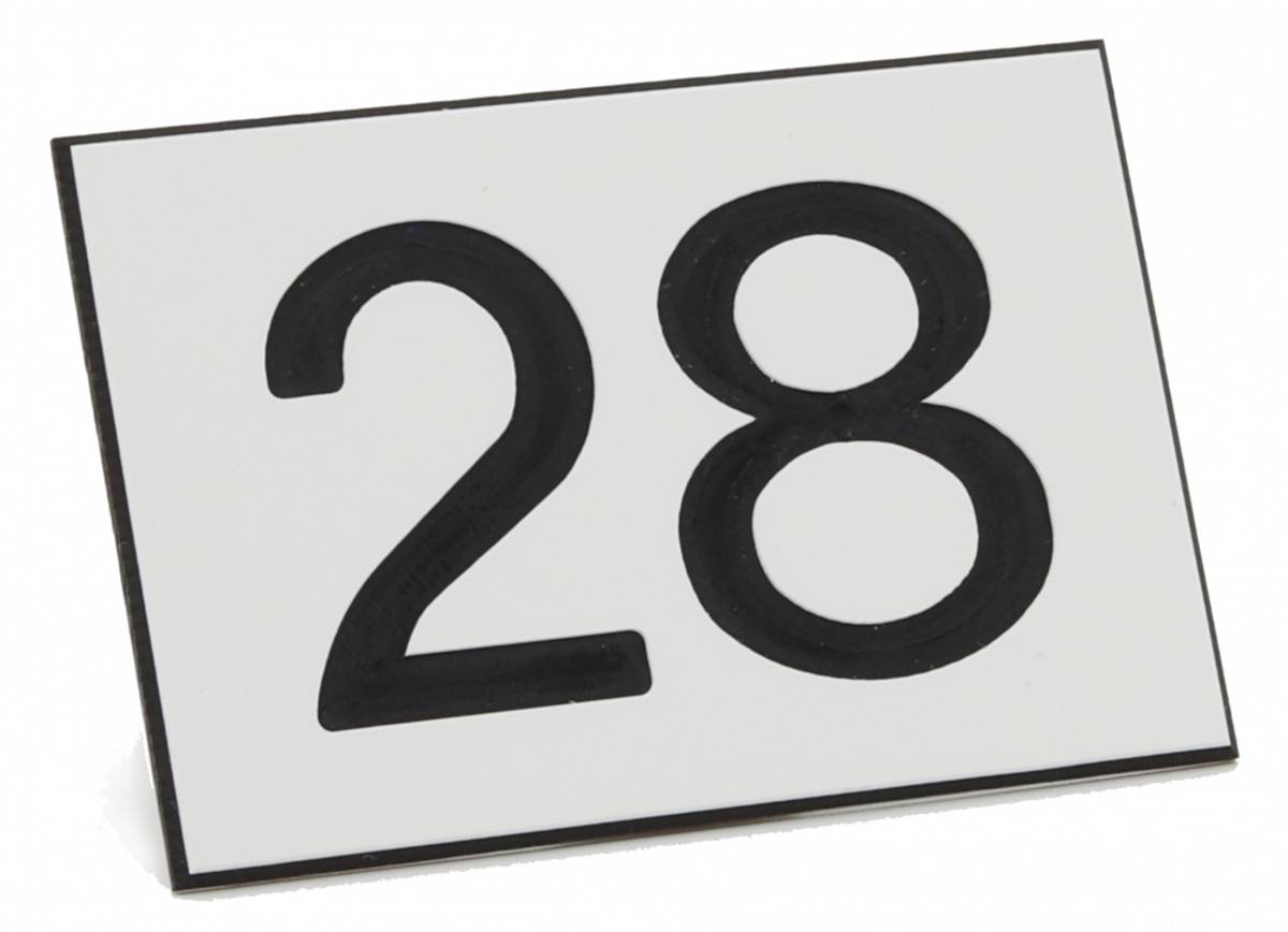
The property owner must ensure the placement and visibility of the address numbering as specified in Section 11 of the City’s Building Code and Section 84 of the Land Use and Building Ordinance.
Navigators
The City of Laitila is not responsible for positioning problems with commercial navigation software.
For more information: